Lower Msimbazi Upgrading Plan
Lower Msimbazi Upgrading Plan
Location: Msimbazi, Dar es Salaam, Tanzania
Project type: Feasibility study and detailed design
Year: 2021-2023
Client: PO-RALG (Presidential Office, Regional Administration and Local Government of Tanzania
Consortium partners: CDR International, VE-R, Deltares, Norplan, Deltares, Shore
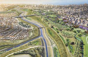
The Lower Msimbazi Upgrading Project (LMUP) is a crucial initiative aimed at improving the resilience of the city centre of Dar es Salaam. The focus of the project is on the lower Msimbazi river and its tributaries which are prone to severe flooding that poses a threat to livelihoods, properties, and critical infrastructure. The consortium was hired to conduct the Feasibility Study based on the Msimbazi Opportunity Plan strategy and prepare preliminary and detailed designs with cost estimates. Objective is to make a robust flood resilient solution and to incorporate a City Park, infrastructure solutions and new floodsafe urban development areas.
The most essential flood protection principles and measures designed for the LMUP are:
Increase hydraulic capacity
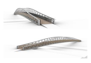
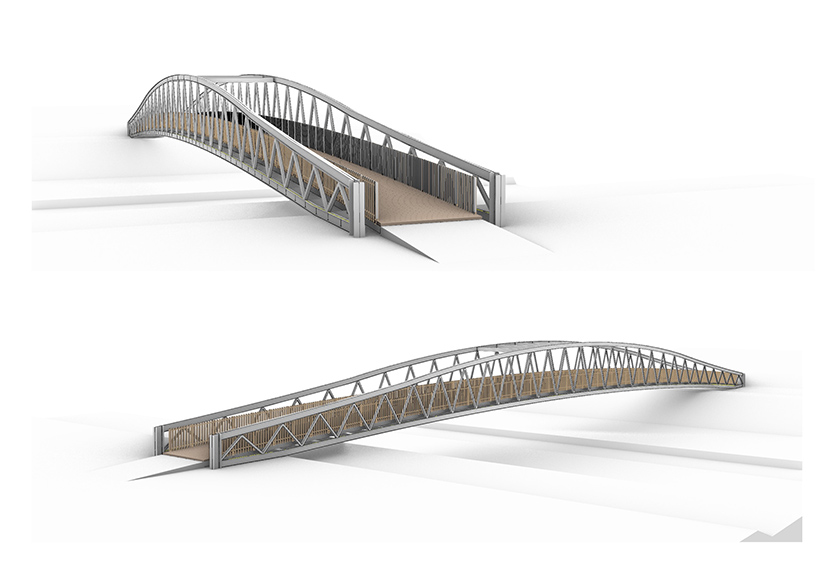
Through widening and deepening the river channel by means of excavation, the overall hydraulic capacity will be increased. Furthermore, a higher and wider bridge has been designed to replace the existing Jangwani Bridge, preventing traffic disruptions, while lowering the extreme water levels upstream of the bridge.
Creating room for development by creating room for the river
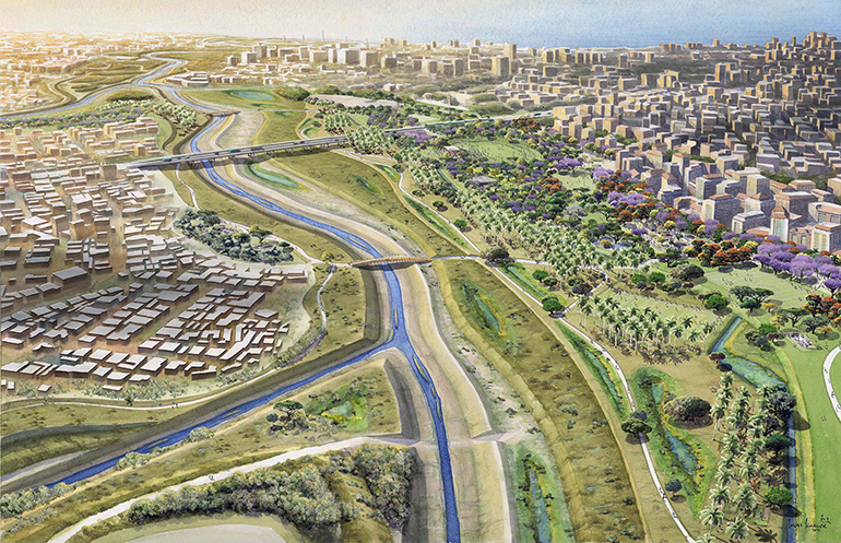
It is proposed to largely restore the floodplain area to a more natural state. To achieve this, the current bus depot and a large part of the building stock will have to be moved to new areas and the sediment accumulated in the floodplain will be removed. With the dredged material from the river and floodplain, flood safe terraces will be created that are suitable for relocation, urban development and recreation. The transitions from the flood safe terraces to the floodplain areas will be fixed with bank protections.
Rehabilitation of natural hydrological system
These measures have the purpose to mitigate flooding along with associated (additional) benefits, hence making the impacts of climate change less severe. In the LMUP it is envisioned this will be mainly achieved by reforestation of the upper basin area and rehabilitation of vegetated areas. This will reduce the sediment load in the long-term while providing additional benefits.
Adaptive operations and maintenance
Operation and Maintenance activities are essential to ensure the long-term effectiveness of the proposed interventions. These activities are formulated as a set of recommendations that go hand in hand with the implementation and execution of the sediment management plan.
Feasibility study
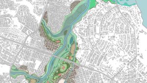
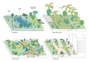
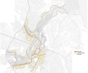
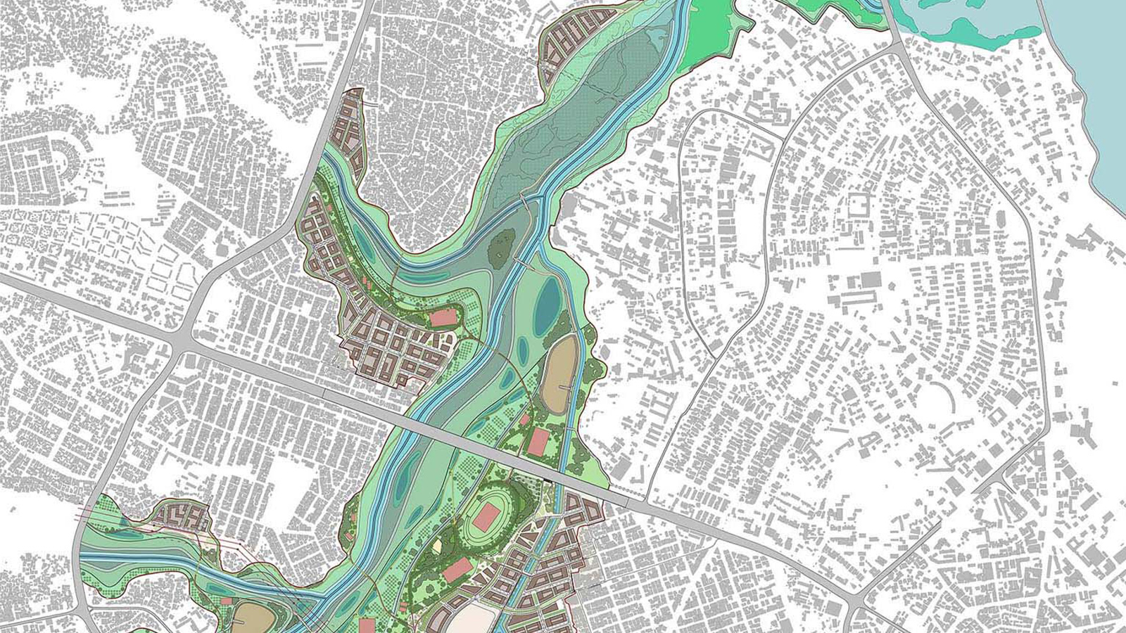
The feasibility study served as the basis for securing investment financing. The Spatial Framework was developed as a central tool while working with a multidisciplinary team on the variety of tasks and subjects. It spans 200 hectares, including the river and tributaries, floodplains, urban agriculture, public park, sand depots and mangroves. Preliminary designs were made for embankment protections, resilient transport infrastructure, urban greening and nature revitalization and the City Park. The public park is divided in high and low activity zones and connected by a Non-Motorized Transport network. An urban plan was also set up, including diverse neighborhoods with a mix of affordable, social, mid-end and high-end housing.
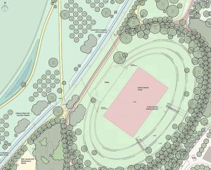
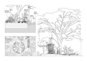
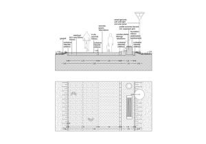
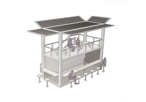
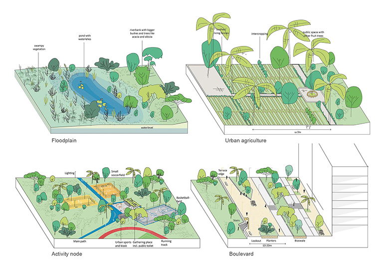
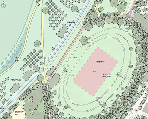
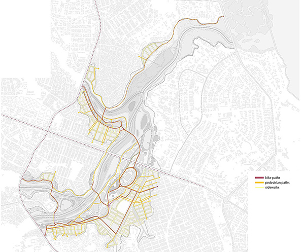
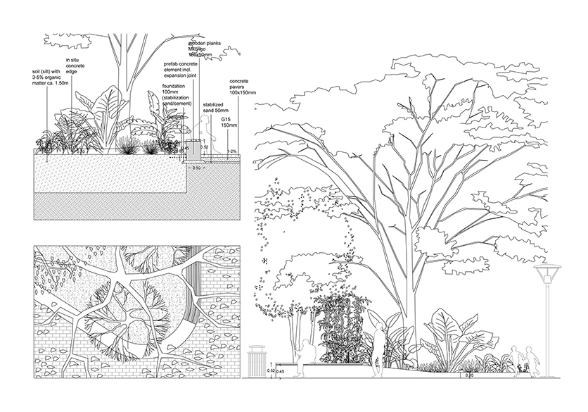
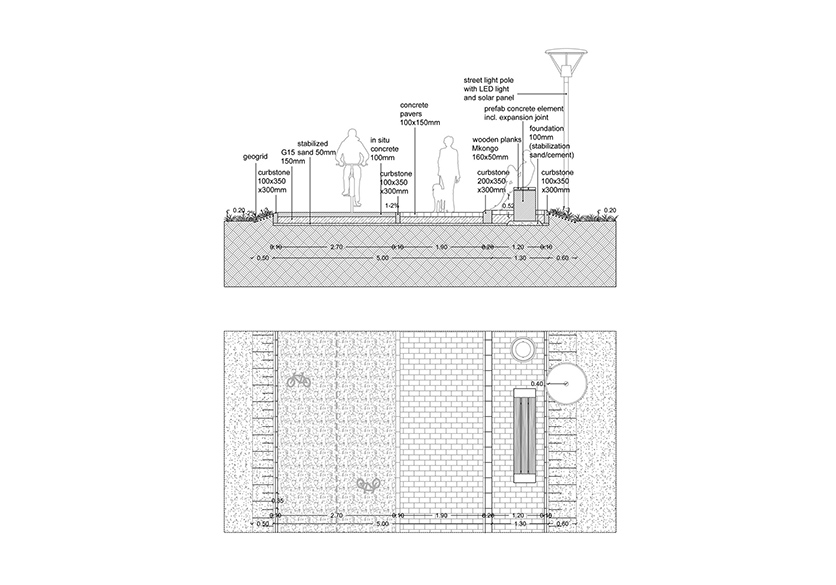
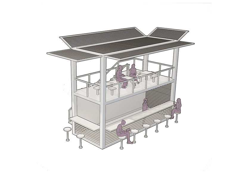
The detailed designs focus on the park’s structural elements, such as the path systems, drainage systems and vegetation layers. The vegetation plan includes ca. 100 different species of trees, carefully chosen to match the specific characteristics of the site. The urban agriculture terrace will provide ideal conditions for farmers with establish coconut trees, fruit trees and water bodies to increase water security. The Non-Motorized Transport network will connect the surrounding neighborhoods to the park, accessible for pedestrians, disabled individuals and cyclists. The boulevard, between new neighborhoods and the City Park will offer a versatile space for walking, biking, running, relaxing and gathering with beautiful views over the Msimbazi basin. Reference designs were made for various park facilities, including kiosks, washrooms, sport and play fields, promoting physical and mental health and serving as gathering places for the community. The festival terrain remains a central destination that can accommodate thousands of visitors and is accessible by bus and green car-parking space.
