MOVE Mobility engages in ACTIVE Capacity Building in Uganda
ACTIVE Capacity Building is an initiative of the Dutch Ministry of Infrastructure and Water Management. For this training the Netherlands Enterprise Agency collaborates with Lotte Olthof (Goudappel), Tonny Bosch (MOVE Mobility) and Amanda Ngabirano (MOVE Mobility Uganda).
ACTIVE (Alliance for Cycling and Walking Towards International Vitality and Empowerment) unites leading stakeholders in the field of active mobility – walking and cycling – with one clear mission: to train 10,000 experts worldwide over the next ten years, empowering cities and regions to create healthier and more sustainable mobility systems.
ACTIVE trainings help communities become more walk- and cycle-friendly by addressing three key areas: hardware (infrastructure), software (awareness and education), and orgware (institutional cooperation). Participants learn to identify good and bad examples of each in their region. The ultimate goal is to create safe, inclusive networks for walking and cycling—accessible to people of all ages and abilities, similar to those in the Netherlands.
Shaping the future in Gulu and Kampala
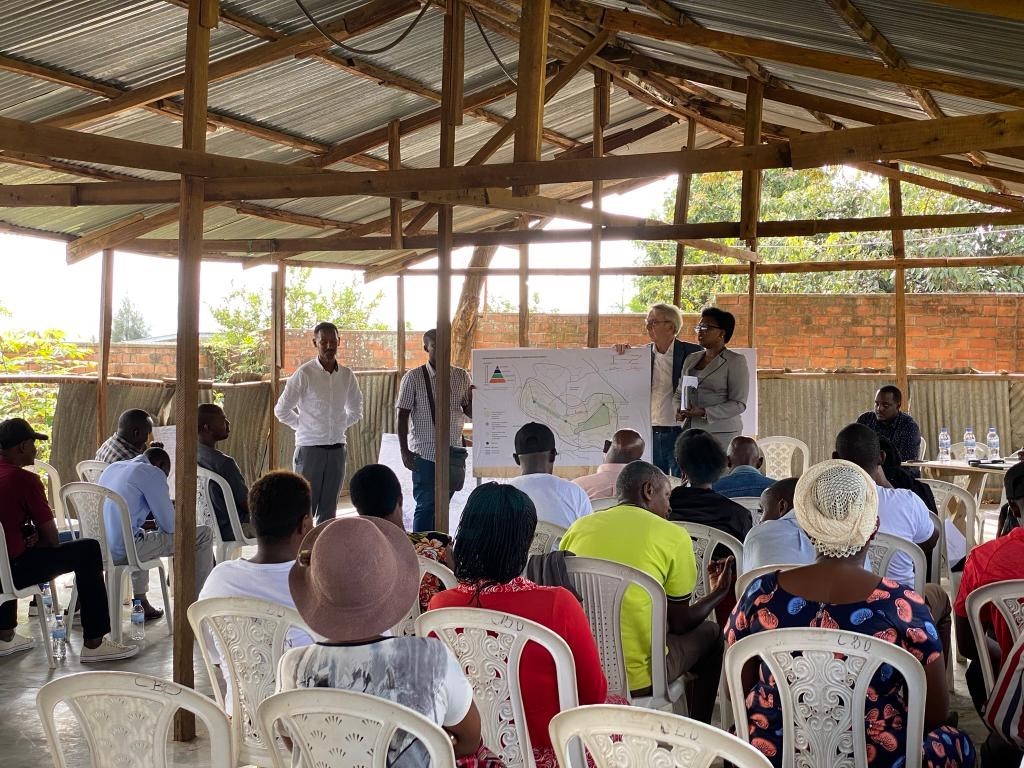
After kicking off in Jinja, we expanded the training sessions to Gulu and Kampala this September.
We started the training in Gulu, a young city that earned its city status in 2020.
Walking is already common and cycling is growing, yet often seen as transport for lower-income groups. Gulu’s leaders want to change that perception. Political and technical teams joined forces, showing strong determination to make active mobility a central part of the city’s growth. The energy during the training was contagious. Participants embraced the challenge, and the Mayor of Gulu set the tone by cycling during the city’s first car-free day—a clear sign that Gulu is ready to move forward.
The training in Kampala, as well as in Gulu, focused on network planning and safe street design. Here, too, the training concluded with a graduation ceremony and a car-free day. Seeing Kampala’s streets come alive was truly uplifting! When we give space back to people walking and cycling, streets become places for people, not just for traffic. The cities’ joyful atmosphere was proof of that!
More information