National Teachers College, Mubende
National Teachers College, Mubende
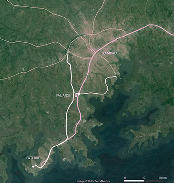
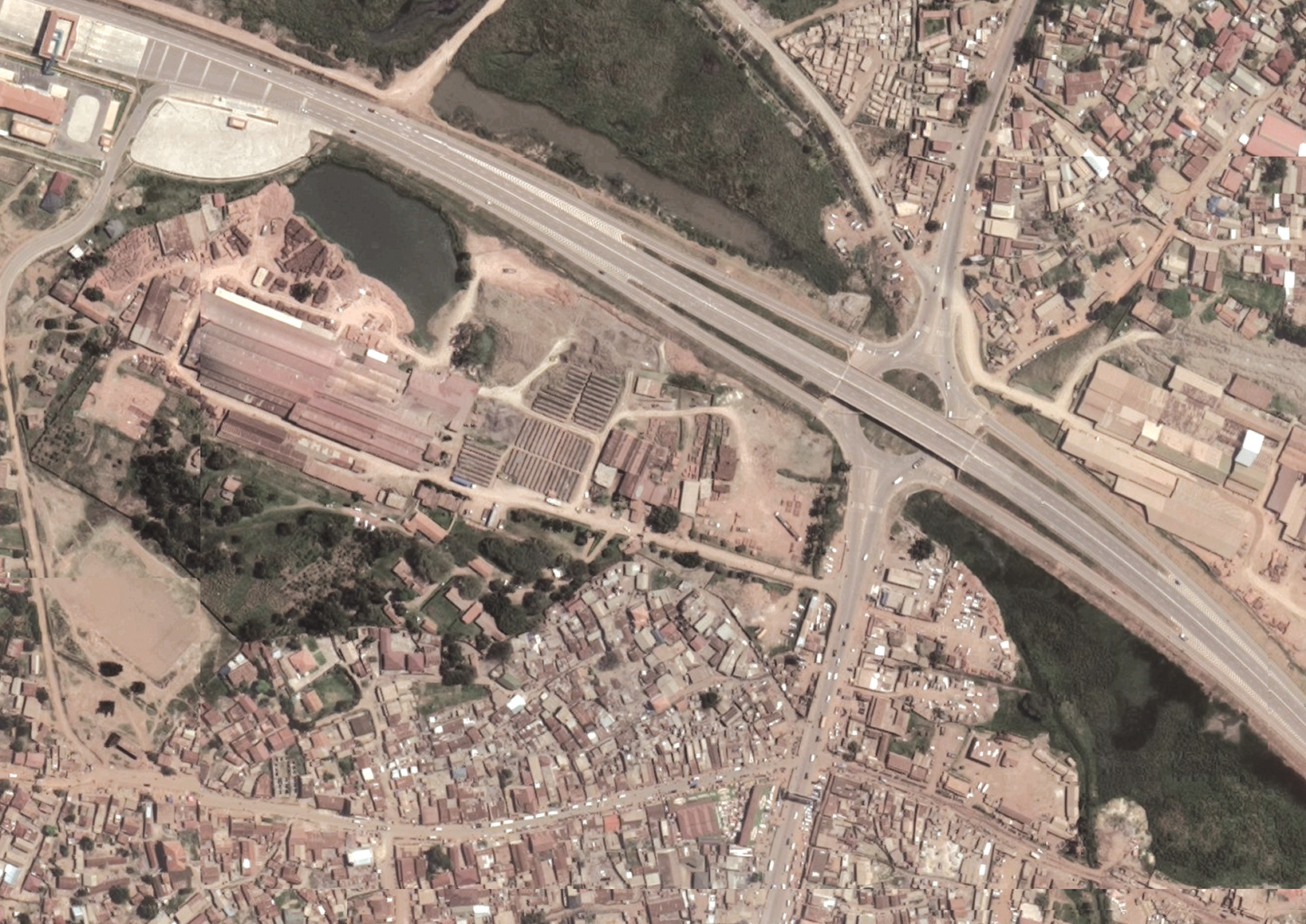
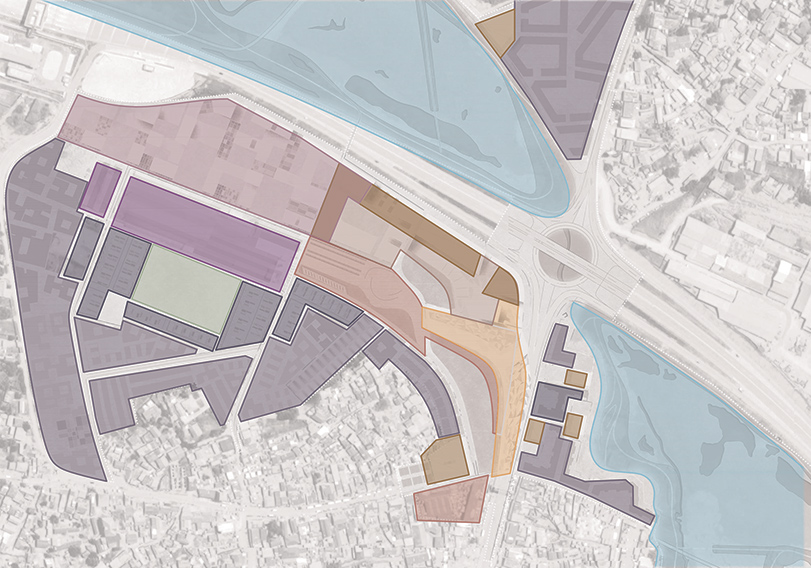
Location: Mubende, Uganda
Project type: Renovation and expansion of school campus
Year: 2018-2022
Client: Ministry of Education and Sport, Enabel
Consortium partners: Studio Akeka, Ubuntu, VE-R
Award: ‘Popular Choice Winner’ Architizer A+ Awards 2022
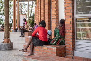
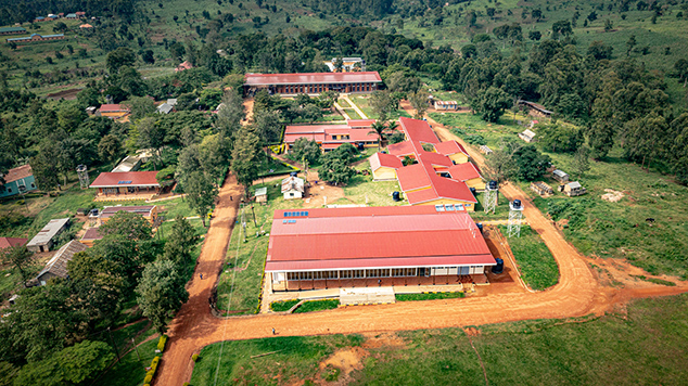
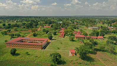
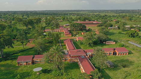
The education campuses in the Ugandan towns of Kaliro and Mubende have undergone major renovation and expansion with the addition of about eight new buildings. Both campus projects are part of a national programme to improve education in Uganda by training a new generation of teachers. Besides educational facilities, also good and healthy housing, leisure activities, nutritious food and natural hygiene are part of this ambition. Offering students and teachers this broad perspective, inside and outside the classroom, creates a culture with natural engagement and balance with the living environment. Besides utilizing facilities, the project is based on a vision of ‘living the example’. The careful integration of the new buildings and the simple but well-thought-out manner of construction gives space to students and teachers and depicts the idea well of the national education programme for Uganda.
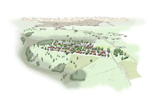
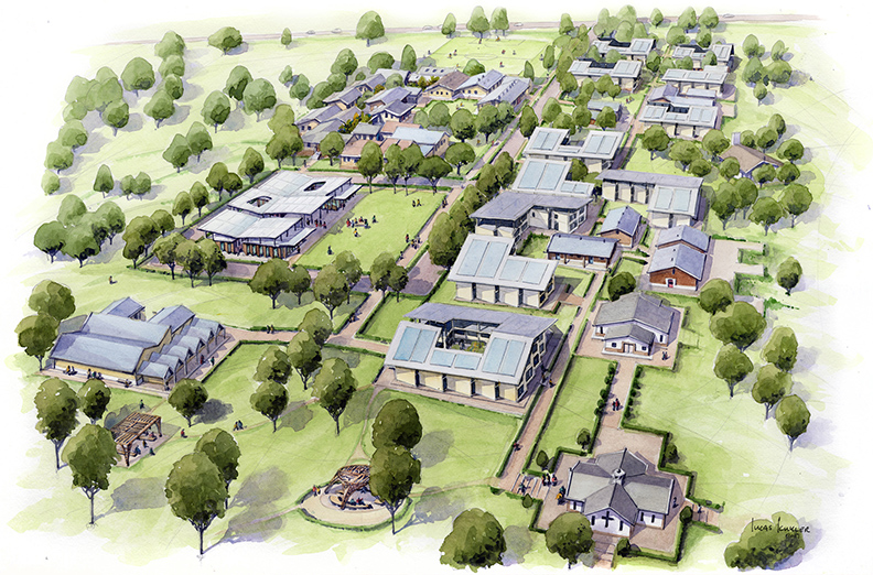
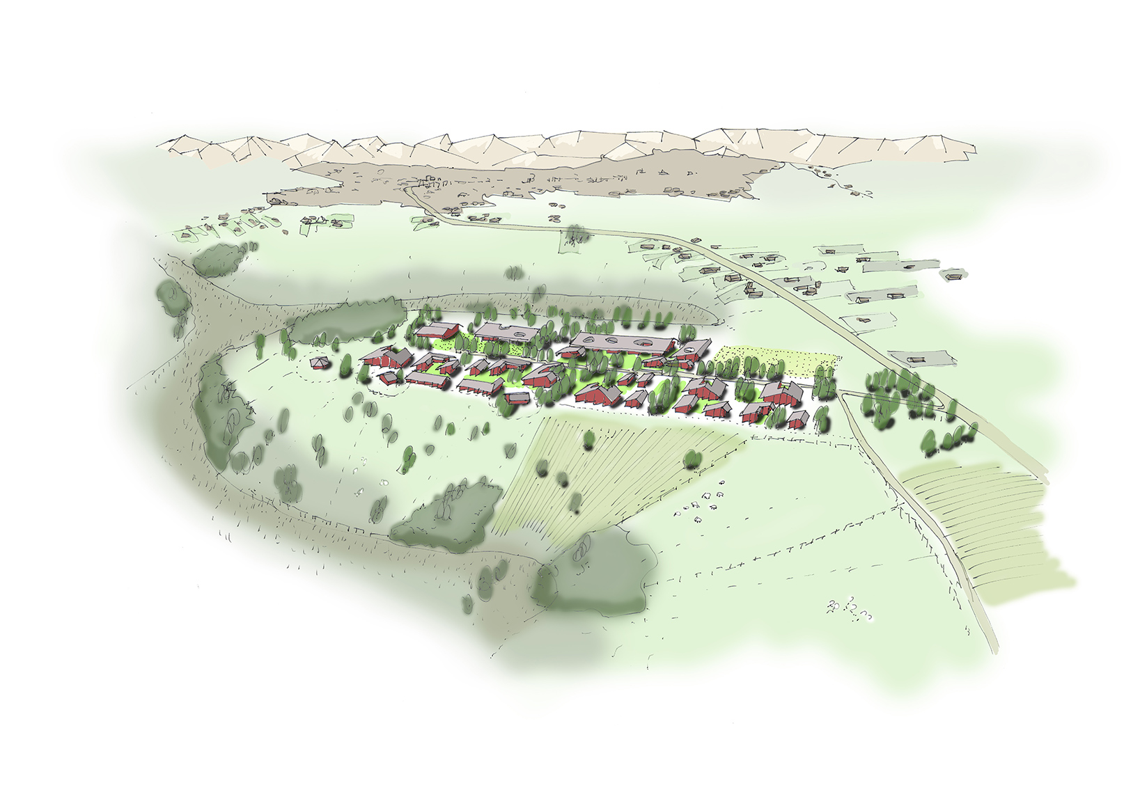
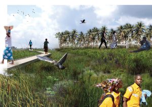
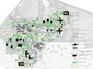
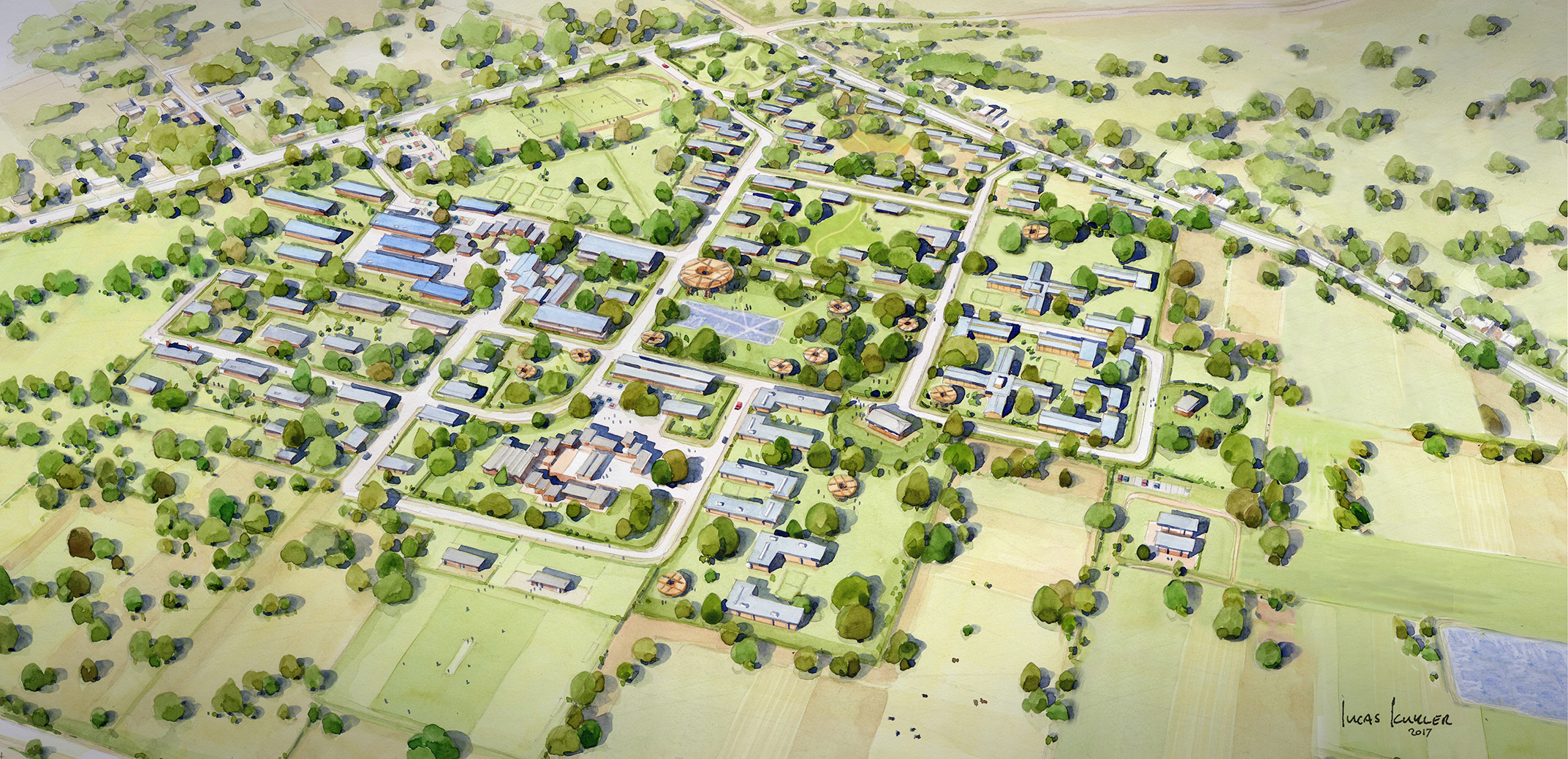
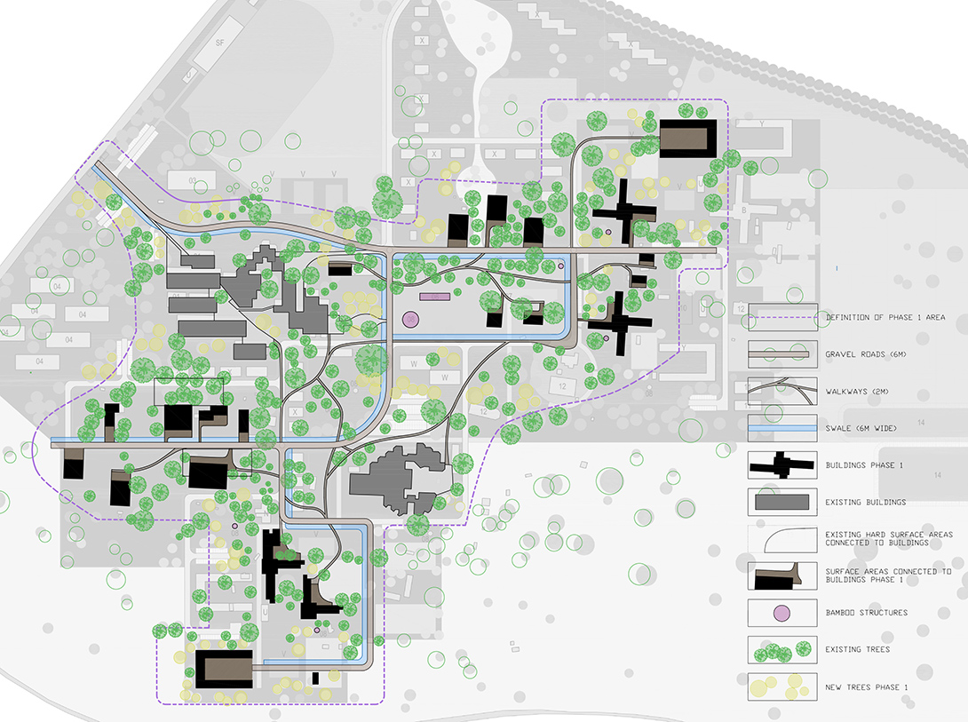
This sustainable, holistic vision was the starting point for the renovation and new construction at both locations. Existing trees and planting, working routes and rituals were integrated into the master plan for both. Wherever possible, we made existing qualities visible and strengthened them. Our guiding principles were the old cultural and physical characteristics of the site and current uses, combined with adding the most logical interventations.
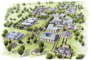
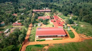
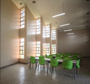
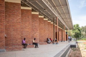
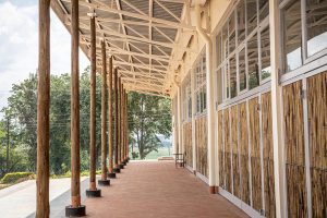
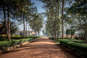
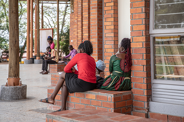
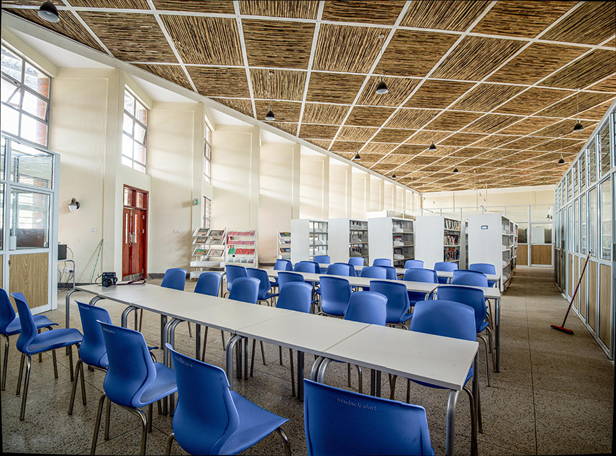
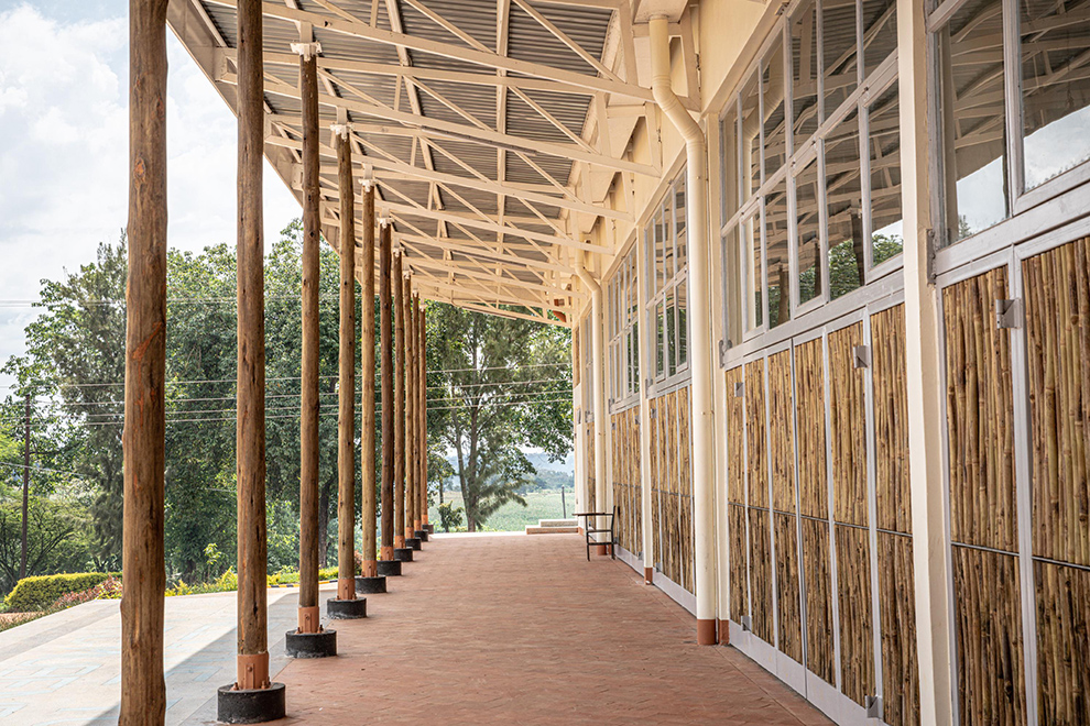
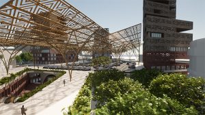
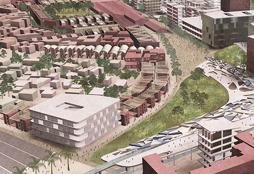
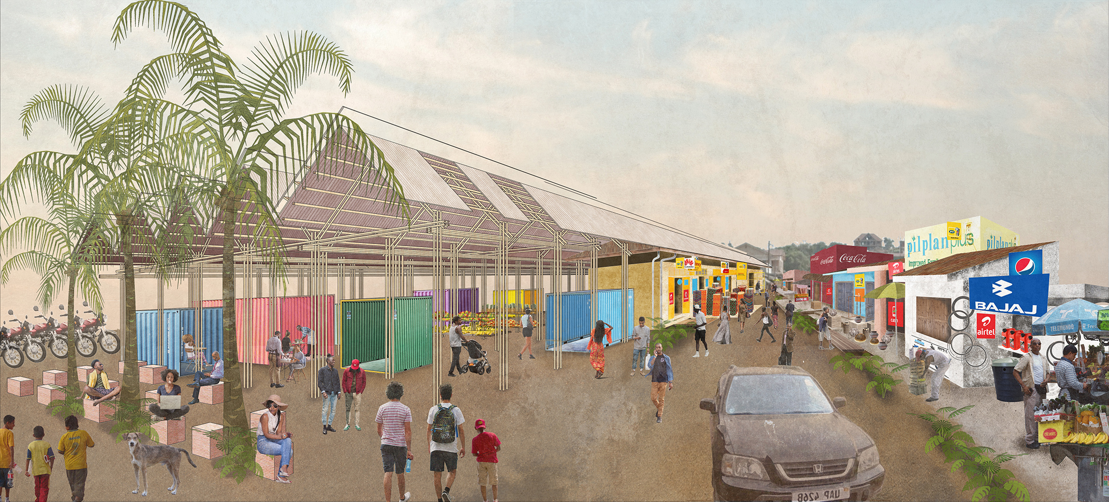
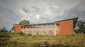
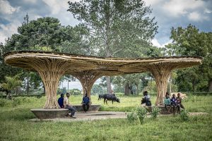
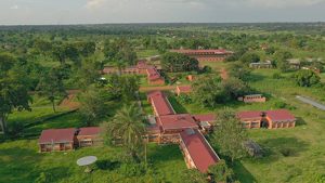
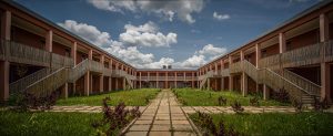
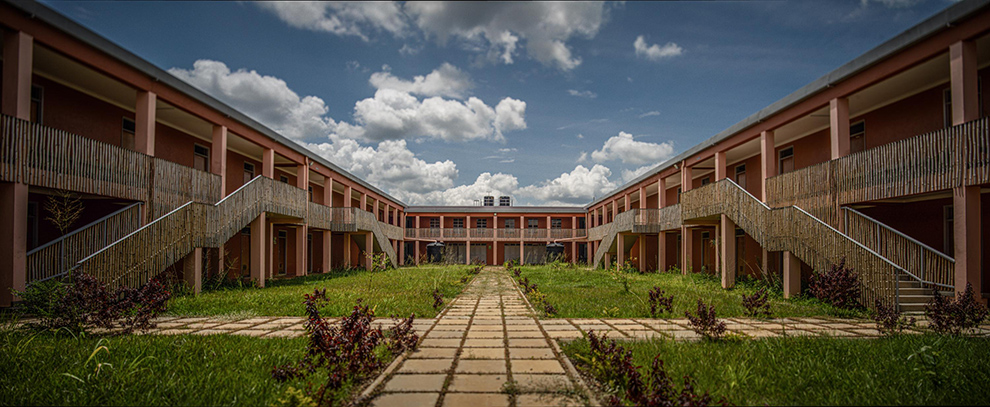
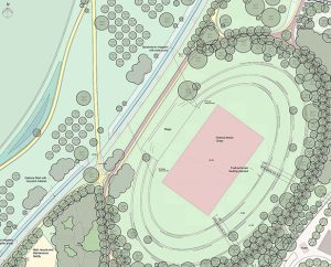
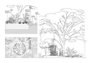
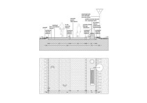
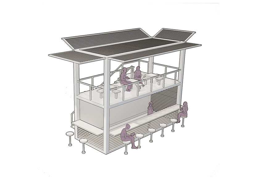
The Mubende site for the teachers college was already strongly organized by the central lane. By further enhancing this to become the spine of all activity and connector of the existing renovated buildings and the new ones, the development uses the green quality of the site to its best. The buildings, existing and new, are all naturally ventilated and cooled. Precisely oriented ‘zigzag’ facades minimise the incidence of direct sunlight and heat. Wherever possible, the buildings have been constructed with the help of local craftsmen from local materials such as earth bricks and bamboo. At the Mubende site the new Resource Centre is the most outspoken building with indoor study facilities, transitional spaces under the large roof and it forms the backdrop of the central field in front as outdoor space.